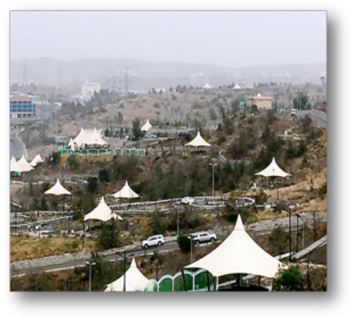
Baljurashi Governorate

It is the largest governorate of Al-Baha Province and considered its commercial and economic center. It is located 26 km south of Al-Baha City. It was previously the headquarters of government departments in the province as of 1370 A.H. through the end of 1383 A.H.
Geographical Location, Area and Population:
It is bordered to the north by Al-Baha City and Al-Aqiq Governorate, to the south and east by Asir region and to the west by Al-Makhwah Governorate.
The area of Baljurashi Governorate is: 1362 km2 .
population:
The population of Baljurashi Governorate is 80,000 thousand people.
Climate and Topography:
Mild summer – cold winter
It is a mountainous land containing some valleys and plains.
Affiliated Centers:
- Bani Kabir Center (40 villages)
- Shaham Center (16 villages)
- Bidah Bani Kabir Center (15 villages)
- Shari District (14 villages)
- Al-Janabeen Center (13 villages)
Heritage Sites and Geographical Landmarks:
- Sheikh Mohammed Bin Musabah Museum
- (Dar Al-Souq) Heritage Village in Baljurashi Governorate
- Al-Abdal Village (Bani Kabir)
- Historical Saturday Market in Baljurashi
Some of the Valleys in Baljurashi Governorate:
- Wadi Al Khaitan
- Wadi Al Janabeen Dam
- Wadi Madhud
- Al Marzouq Dam
- Al Habees Dam
- Talqia Dam
- Al-Halah Dam
- Wadi Al-Hadab
- Wadi Matwa
- Parks
- Baljurashi National Park
- Al-Sakran Park
- Al-Janabeen Park
- Umm Ghaith Park
- Dana Baljurashi Park
- Prince Miteb Park
- The National Park of Baljurashi Governorate
- It has seating areas, canopies, children's rides, playgrounds and barbecue places.


